
TypeOpen Storage · Car Spaces / Car Storage · Industrial Development Land
IP6 Station Works, Gipping Road, Ipswich
TenureFor sale
Specification
- Land size
- Land size 0.96 acres
- Property type
- Property type Open Storage · Car Spaces / Car Storage · Industrial Development Land
- Tenure
- Tenure For sale
Description
All interested parties should contact Babergh Mid Suffolk District Council.
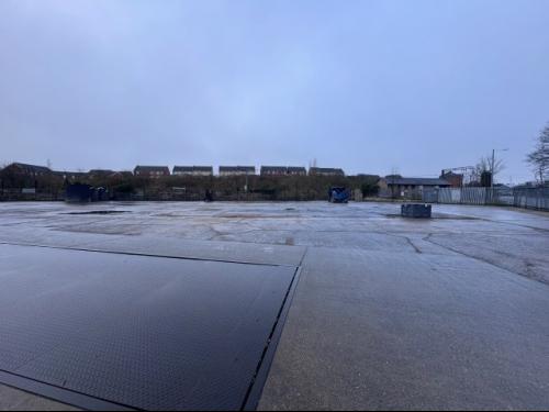
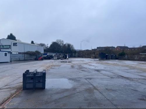
We believe the site would be suitable for B2/B8 uses. All interested parties should contact Babergh Mid Suffolk District Council. Legal Costs Each party to bear responsibility for their own legal costs incurred in this transaction.
We understand there is mains electricity, surface water drainage, foul drainage via septic tank and water within the vicinity of the site. Nb: None of the services have been tested and it is the responsibility of the proposed purchaser to satisfy themselves as to their operation/ condition including any it and telecommunications links. Service charge to be confirmed.
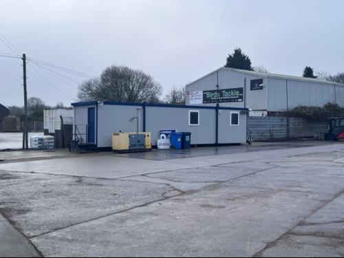
Price & Tenure The premises are available for sale freehold with vacant possession upon completion, at offers in the region of 725,000. There is a portable cabin which can be made available by separate negotiation.
Location
The property is situated in Great Blakenham which is 14 minutes from Ipswich, accessed via the A1156 off the main A14 dual carriageway. Nearby premises include Claydon Business Park, Port One at Great Blakenham and various commercial occupiers. The site is situated on Gipping Road close to Jack Brand and opposite Claydon Business Park, and offers an easily accessible location for the main A14. Occupiers at Port One include Hemisphere Freight Services Ltd, Messina Group, Buckle Shipping (Ipswich) Ltd, dfs, fds, Linktrans, 4PLinks and Lay & Wheeler.
Ipswich is the administrative and county town of Suffolk with a resident population of 130,000 and a retail catchment population of approximately 300,000. The town lies on the River Orwell, approximately 70 miles north-east of central London, 55 miles south-east of Cambridge, 43 miles south of Norwich, and 18 miles north-east of Colchester. Major roads in the area include the A12, which provides dual carriageway access to the A14, providing a principal link from the Port of Felixstowe (9 miles to the south-east) to the East Midlands.