
TypeCar Showroom · Garages · Roadside Development Land · Industrial Development Land · General Industrial units · Trade Counter units
ME10 Crown Quay Lane, Sittingbourne
TenureFor sale
Specification
- Building size
- Building size 30,896 sqft
- Land size
- Land size 2.37 acres
- Property type
- Property type Car Showroom · Garages · Roadside Development Land · Industrial Development Land · General Industrial units · Trade Counter units
- Tenure
- Tenure For sale
Description
For Sale - Commercial Unit / Compound / Development Opportunity - Sittingbourne
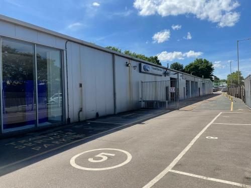
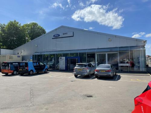
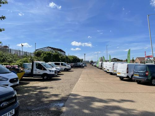
The property comprises a motor dealership with two front showroom areas and extensive workshop accommodation.
The two showroom areas have capacity for 6 and 3 vehicles respectively and are well fitted with tiled flooring, glazed frontages and suspended ceilings with boxed lighting and heating vents. A number of offices and customer WC's sit to the side.
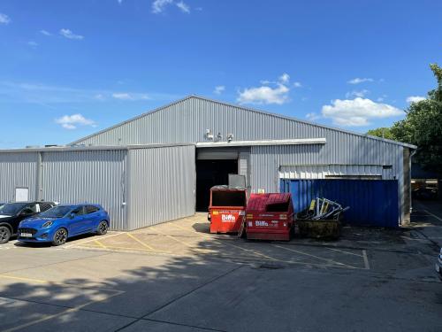
The rear part of the building comprises a separate bodyshop and workshop with a total of 13 ramps presently. The area has a concrete floor, painted blockwork walls and lighting by LED box lighting and heating by Ambirad strip heaters.
Access into the workshop is via 4 up and over doors in the side elevation with a separate, single point of access into the bodyshop from the rear of the building.
Location
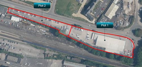
The property occupies a prominent, corner position at the roundabout junction of the B2006 Eurolink Way and Crown Quay Lane, on the north edge of
Sittingbourne town centre.
Sittingbourne has a population of 54,000 (2021 census) and sits 45 miles east of London via the M2 which is accessed from the A2 / A249 from the
town centre and leads east to Dover (34 miles distant).
The surrounding area is largely commercial in character with the large Eurolink Industrial Estate immediately to the east and a number of retail parks
and supermarkets a short distance west with occupiers including Morrisons, Home Bargains, Dunelm, Currys, Pets at Home and Dreams.
A housing estate lies opposite with a railway line running across the southern boundary of the site.